Army Trails
Explore Our Army TrailsNews and Articles
View Our News & Articles- visit
- exhibits
- army trails
- public programs
- education
- events
- news
- about
- get involved
Back
Visit the Museum
Plan Your Visit
Back
Back
Back
Programs & Education
Learning Opportunities
Back
Back
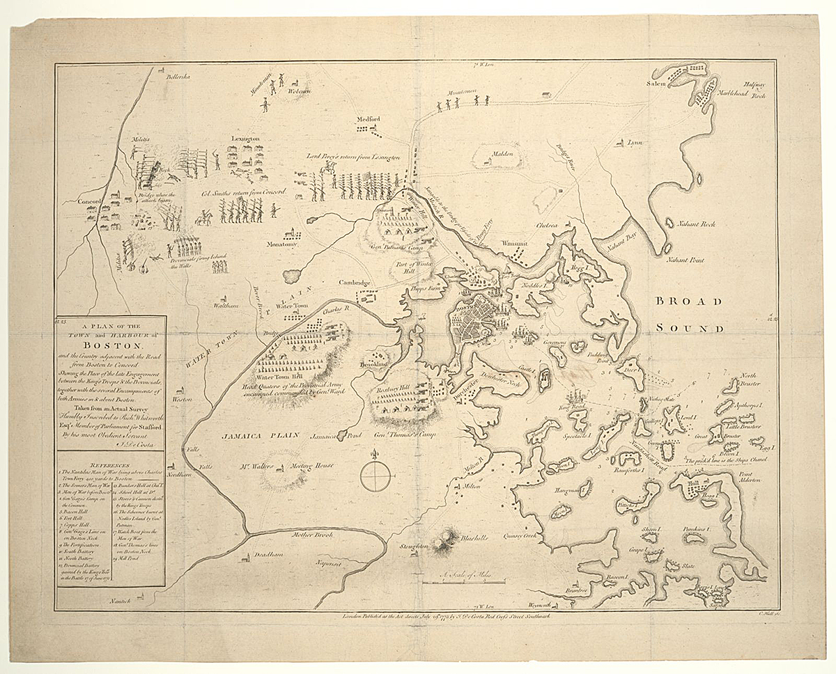
![Robson, T. Plan of the town with the attack on Bunkers-Hill in the peninsula of Charlestown, the 17th. of June. [Newcastle upon Tyne Eng. Printed for T. Robson, 1778] Map. https://www.loc.gov/](https://www.thenmusa.org/wp-content/uploads/2025/03/iiif-service_gmd_gmd376_g3764_g3764b_ar093600-full-pct_25-0-default.jpg)
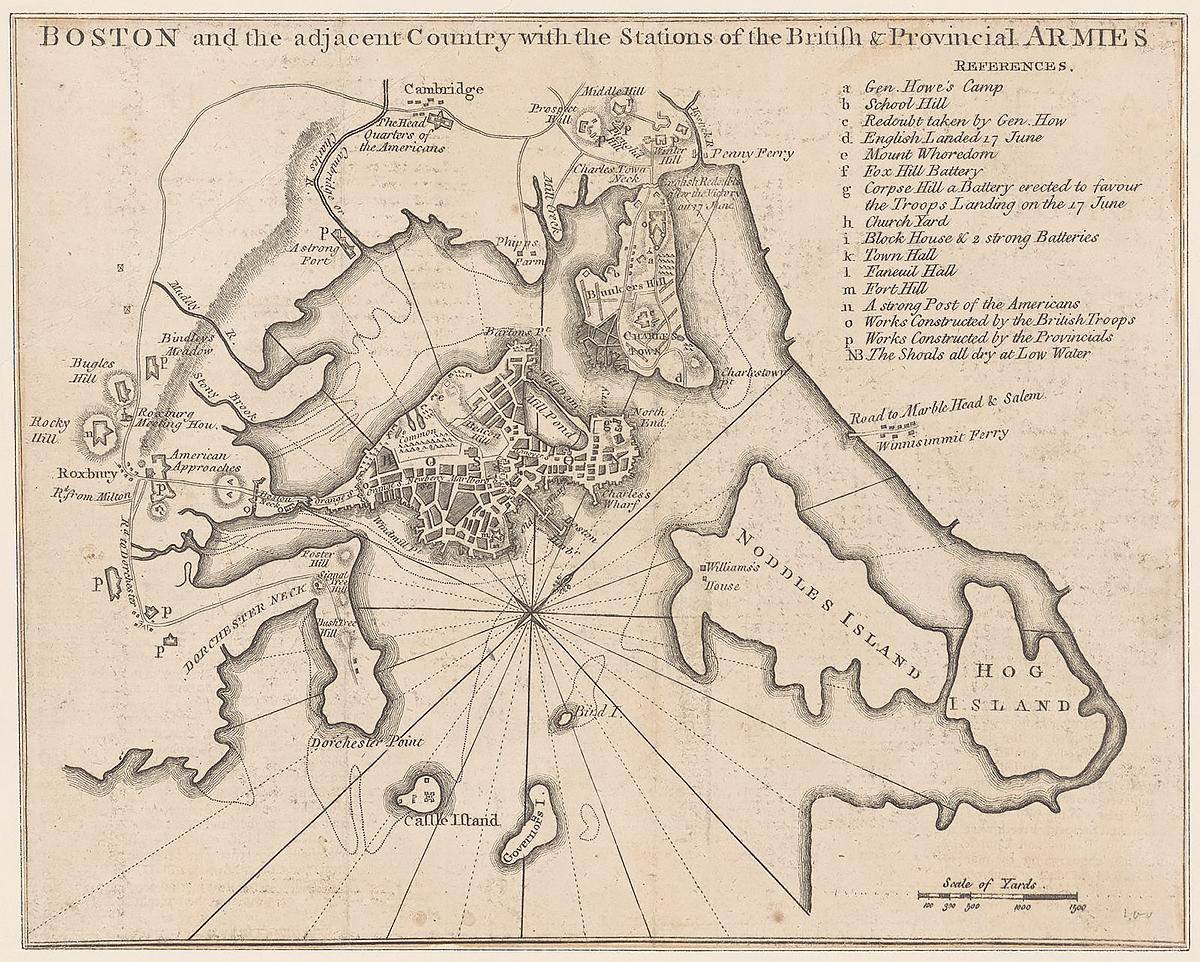
![Page, Thomas Hyde, Sir. A plan of the town of Boston and its environs, with the lines, batteries, and incampments of the British and American armies. [1776] Map. https://www.loc.gov](https://www.thenmusa.org/wp-content/uploads/2025/03/v1iiif-service_gmd_gmd376_g3764_g3764b_ct000252-full-pct_25-0-default.jpg)